
30th Anniversary Historical Post: Water, Water Everywhere (around GFE)!
/Today’s 30th anniversary historical post looks at GFE and the water surrounding it, past and present.
GFE is situated on Mount Sutro’s western slopes. This presents a distinct advantage for the garden, because when the area gets rain, soil on the mountain absorbs water, and this water flows underground and into our garden soil. We speculate that GFE’s location on the mountain’s base really helps sustain our plants, particularly those deeply rooted on the garden’s more acutely sloped eastern side.

February 16, 1926: A southerly view from 7th Avenue and Lawton that shows the 30-inch water pipes that would soon be installed under 7th Avenue, which runs just west of GFE. Photo credit: Western Neighborhoods Project - wnp36.03306;

March 10th, 1926: Almost the same view as above, with a trench dug to lay the water pipes. Photo credit: Western Neighborhoods Project - wnp36.10027
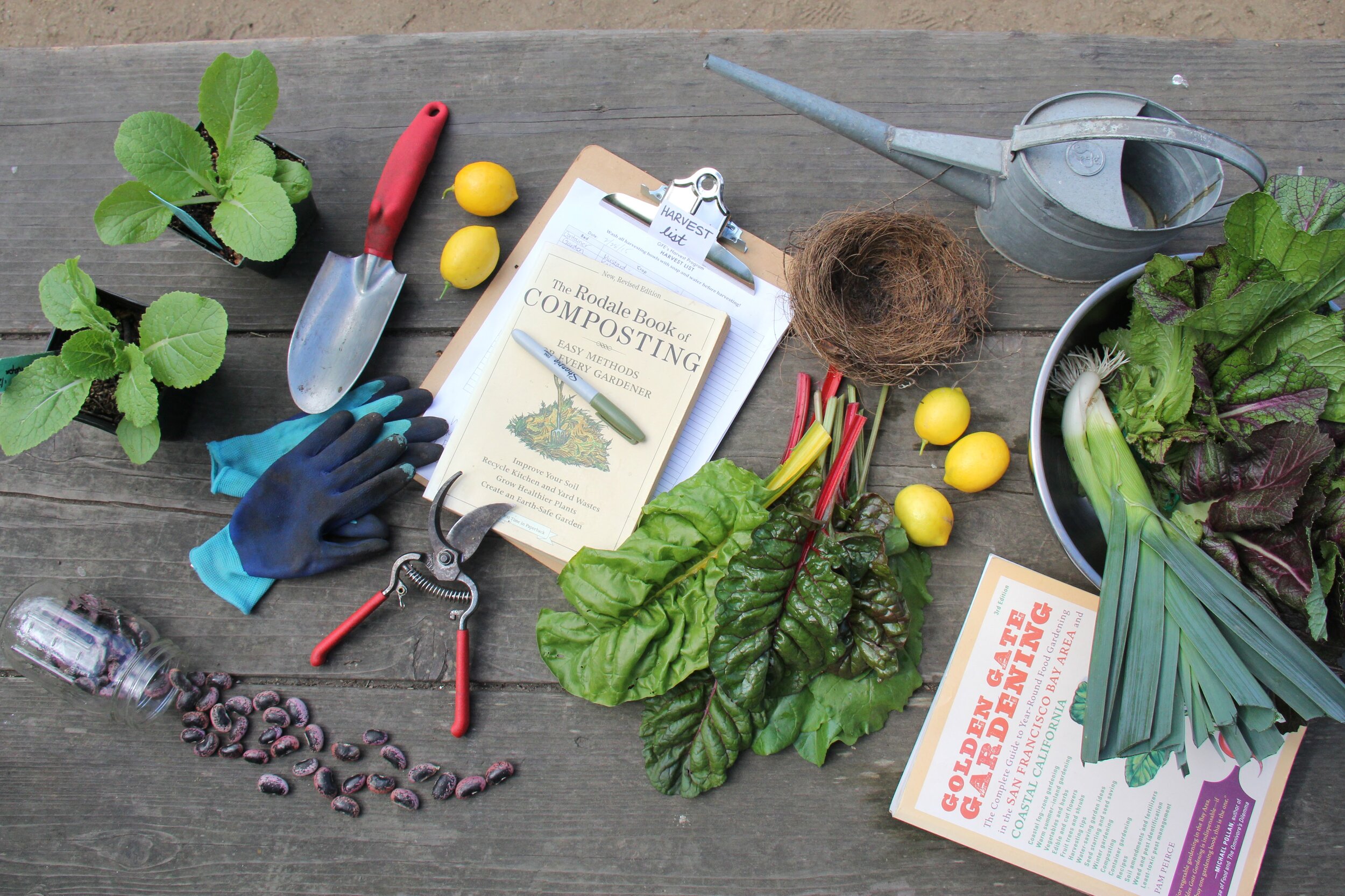
In addition to this gift of a natural water source is the reality that GFE needs to water its plants to survive. We take our water consumption very seriously, using drip irrigation and occasional hand-watering for select plants, even though a huge amount of the city’s water literally flows just next to the garden! In these historical photos from February 16th, 1926, you see construction of a 30-inch water pipeline being installed under 7th Avenue (above). See that house on the right side in the background of Photo 2? That’s our neighbor’s house! (below)

February 16th, 1926: A northerly view along 7th Avenue looking toward the property that GFE now occupies. OUr neighbor’s house is on the center-right side in the background. Photo credit: SAN FRANCISCO HISTORY CENTER, SAN FRANCISCO PUBLIC LIBRARY, DPW-10128
While rumors persist that a creek ran parallel to present-day 7th Avenue, we found no evidence of this on historical watershed maps. However, we did discover that the area to GFE’s south (the empty lot and White Crane Springs Community Garden) was an unnamed small lake. We’re not sure when it was filled in, but our hunch is that it was soon after the water pipes were installed, as this area was flat by 1938, based on other images we found.

October 21, 1991: Northerly view of GFE land, a little over a year after the Garden’s grand opening on July 28, 1990. The area out of view to the south already had the beginnings of the garden on it.
Flash-forward to October 26th, 1991 when we see another northerly view of GFE land looking toward our neighbor’s house 1.25 years after GFE’s grand opening celebration on July 28th, 1990, and another in June of 2019 (below). We see how, with access to water, our garden and the city has been able to grow and thrive. GFE is located on San Francisco Public Utilities Commission land and is proud to support its mission of educating the public about water conservation.

June 2019: GFE fully developed and resplendent with water-wise plants and people eager to learn about gardening!